Skip to content

Cartographic versions of Scottish local authorities boundaries and centroids

Notifications You must be signed in to change notification settings

liam-na-mara/scottish-local-authorities-carto

Repository files navigation

scottish-local-authorities-carto

Cartographic versions of Scottish local authorities boundaries and centroids

LocalAuthority_S12_Centroids_20200526.csv

Geographic and population weighted centroids (PWC) for local authorities, calculated at 2020-05-26. PWC created using 2011 Output Area populations and Median Center tool in ArcGIS

ne_10m_Scotland_local_authorities.zip

1:10 million scale version of Local Authorities for Scotland-scale mapping. Modified from Natural Earth 1:10M data.
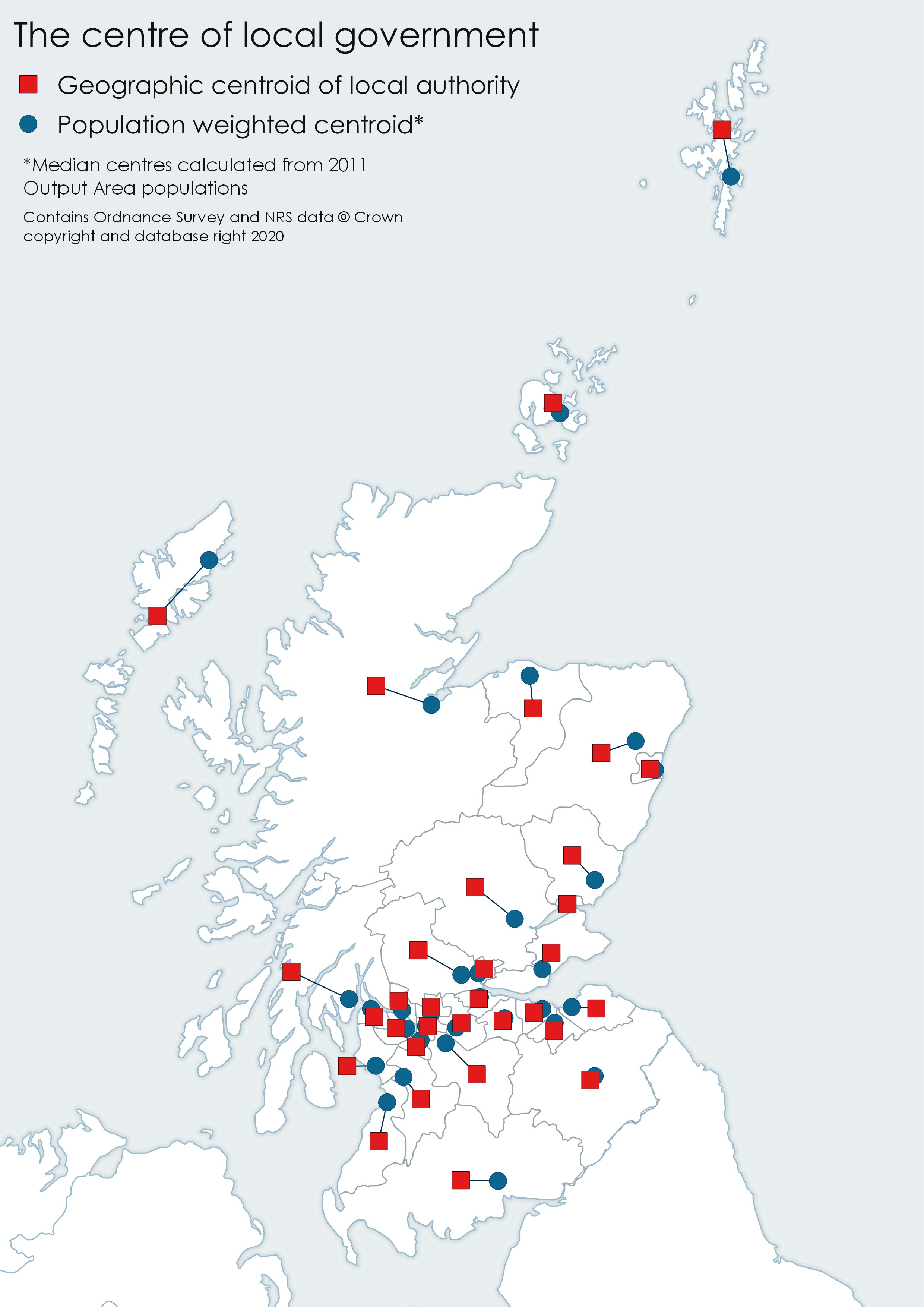
Map depicting the differences between population weighted centroids and geographic centroids

About

Cartographic versions of Scottish local authorities boundaries and centroids

Resources

Stars

Watchers

Forks

Releases

No releases published

Packages

No packages published